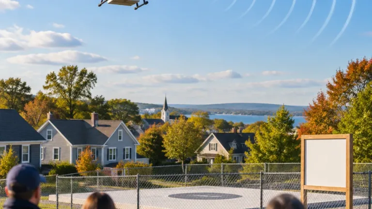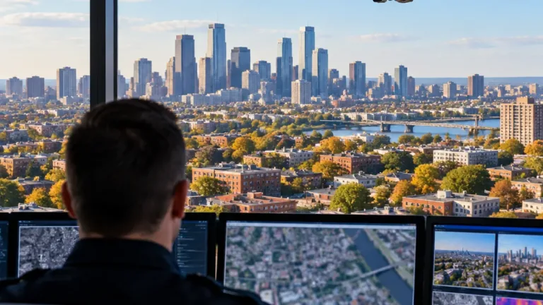
Researchers working with Baggerbedrijf de Boer – Dutch Dredging have examined whether an ordinary RGB drone can provide useful water-depth information in shallow and tidal environments. The work was carried out as graduation research through the Ocean Technology Cat-A program at the Maritime Institute Willem Barentsz and published on November 3, 2026.
The project addresses a practical surveying problem. Multibeam and singlebeam echosounders are established tools for measuring depth, but their use becomes more difficult when there is too little water for reliable operation. In shallow or tidal areas, the equipment can also face a higher risk of sensor damage. The research therefore tested an image-based approach rather than relying on an underwater acoustic sensor.
Using color to estimate depth
The method investigated is known as spectrally derived bathymetry. It uses the way different wavelengths of visible light are absorbed as they travel through the water. Red light is absorbed relatively close to the surface, while green and blue light travel farther through the water column. Light reflected from the bottom can consequently retain depth-related information in the relationship between the red, green and blue image bands.
That principle has previously been applied to satellite imagery. The research question was whether the same approach could work with a drone’s much higher-resolution RGB images. A drone may capture substantially finer visual detail than satellite imagery, but the data still depend on conditions at the survey site, including the clarity of the water and the state of the surface.
Two processing approaches were compared:
- the Stumpf band-ratio method;
- a Random Forest regression model trained with four spectral indices for each pixel, including red-to-green and red-to-blue ratios.
Testing at Galderse Meren
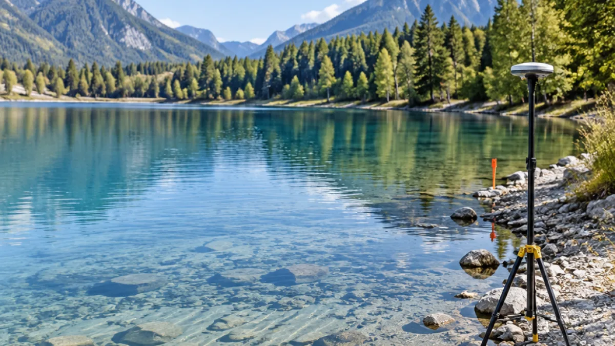
The methods were tested at Galderse Meren under clear-water and calm-weather conditions. A reference dataset was collected using RTK-GNSS, providing the basis for comparing depths derived from the drone imagery with surveyed measurements.
The study is aimed at a specific gap in field operations: shallow-water sites where conventional echo-sounding equipment is difficult to use, but where survey teams still need information about the shape and depth of the bottom. For dredging and other near-shore work, that information can support an initial understanding of a site without making the drone itself carry an acoustic depth sensor.
Because the investigation focuses on an RGB camera, the approach relies on the water surface and bottom being visible in the imagery. The reported test conditions were clear water and calm weather, making them important context for interpreting the results. The research therefore evaluates a defined surveying technique rather than presenting RGB drone imagery as a universal replacement for multibeam or singlebeam sounders.