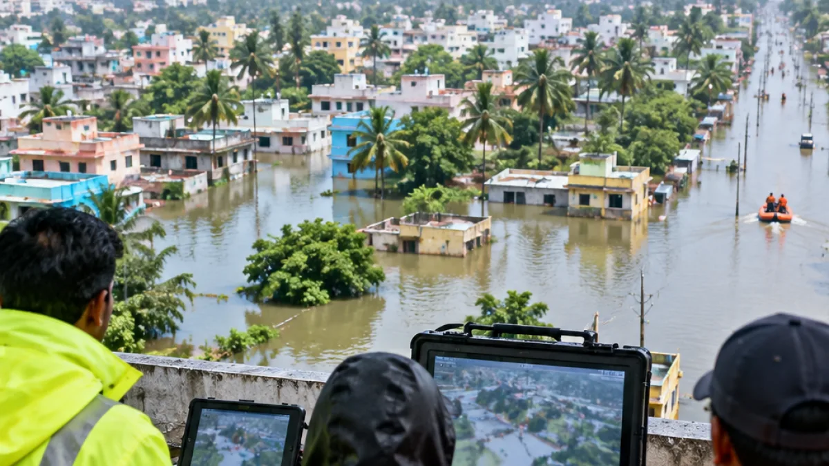
The Greater Chennai Corporation plans to deploy drones across all 15 zones of the city for 30 days during the Northeast monsoon, with the proposed operation focused on low-lying and flood-prone neighborhoods. Officials say the aerial footage would help assess conditions in places that can be difficult to monitor from the ground and support coordination of response measures during periods of heavy rain.
Under the arrangement described by officials, each zone would receive one drone and a trained operating team. The teams would work with zonal officials to determine which locations should be monitored and when flights should take place. The planned coverage would extend across Chennai’s northern, central and southern regions rather than being limited to a single flood-prone district.
Planned coverage across 15 zones
The operation is intended to give civic authorities a broader view of conditions in vulnerable neighborhoods. Aerial observations could help officials identify locations requiring attention and provide information for coordinating activity during the monsoon. The footage would be collected according to the locations and priorities identified by Greater Chennai Corporation officials.
| Element | Planned arrangement |
|---|---|
| Operating area | All 15 Greater Chennai Corporation zones |
| Duration | 30 days |
| Resources | One drone and one trained operating team per zone |
| Primary purpose | Assess flood-prone areas and support response coordination |
| Information flow | Live feeds for designated officials and recorded footage for later assessment |
Live video feeds would be made available to designated corporation officials, while recorded material would be handed over for subsequent assessment. Where available, the recordings would include the date, time, zone and location. That metadata is intended to help officials review observations and connect aerial footage with particular areas of concern.
Monitoring and response information
The proposed system would combine real-time viewing with an archive for later review. Officials could use the live feeds while the teams are operating, while the recordings would provide material for assessing ground conditions after an operation. The reporting does not describe a permanent drone program; the planned deployment is limited to a 30-day period and would follow priorities set by the corporation.
For Chennai, the proposal places drones within a broader municipal monitoring workflow rather than presenting them as a standalone response capability. Zonal officials would identify the places to be watched, operating teams would conduct the flights, and designated officials would receive the resulting video. The stated objective is to improve the corporation’s understanding of conditions in neighborhoods vulnerable to heavy rain and to help coordinate its response during the Northeast monsoon.
- 15 zones are included in the proposed deployment.
- Each zone would have a drone and a trained operating team.
- Operations would run for 30 days, with live and recorded video provided to designated officials.