Aerial LiDAR can produce dependable tree-height measurements across a broad range of flight configurations, but measuring trunk diameters from the air requires much tighter control of the mission. Those are the central findings of a new study published in Annals of Forest Science after a 22-flight drone campaign in a French poplar plantation.
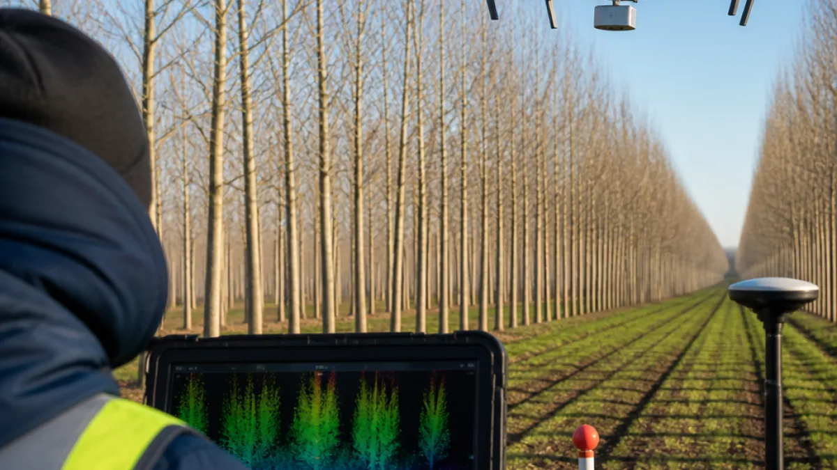
The research was conducted in a 0.23-hectare section of plantation in Ordan-Larroque, in France’s Occitanie region. The plot contained 33 poplar trees planted in 2001, arranged in regular rows with 7 meters between trees within a row and 8 meters between rows. The wider plantation contained roughly 240 trees at a density of about 171 trees per hectare.
What the survey system recorded
Between January 2024 and April 2025, the team flew a DJI Matrice 300 carrying a Zenmuse L1 LiDAR sensor. The system used 905-nanometre laser pulses at a rate of up to 240,000 pulses per second and recorded as many as three returns from each pulse. RTK positioning was accurate to better than 5 centimeters.
The aircraft also captured 20-megapixel RGB imagery during the missions. Those images were used to create an orthophoto with a ground resolution of 1.64 centimeters per pixel. Flight altitudes extended to the legal maximum of 120 meters, while the spacing between flight lines ranged from 8.01 to 42.52 meters.
| Survey element | Details reported in the study |
|---|---|
| Drone | DJI Matrice 300 |
| LiDAR sensor | Zenmuse L1 |
| Missions | 22 flights from January 2024 through April 2025 |
| Flight altitude | Up to 120 meters |
| Flight-line spacing | 8.01 to 42.52 meters |
| RTK positioning | Better than 5 centimeters |
Leaf cover and flight geometry mattered
Thirteen of the flights took place during winter, when the trees had no leaves, and nine were conducted in spring, when young foliage covered the canopy. The missions used a parallel grid pattern and the sensor’s non-repetitive scanning mode, which has a 77.2-degree vertical field of view. The researchers selected that mode because it illuminates vertical trunk surfaces at oblique angles.
Tree height remained robust under almost all of the tested flight settings. Trunk diameter was different: accurate results required leaf-off conditions, lower-altitude flights and paths aligned with the plantation rows. The distinction is important because the canopy can obstruct the laser’s view of the lower trunk, while flight geometry affects how much of a vertical trunk surface is exposed to the sensor.
- Tree height: reliable across almost any flight configuration tested.
- Trunk diameter: more dependent on leaf cover, altitude and flight-line orientation.
- Mission planning: row alignment was particularly important for the harder trunk measurement.
Limits of the flight campaign
The researchers said the campaign was not a fully orthogonal factorial experiment. Altitude, aircraft speed and point density were physically linked, with lower altitudes and slower speeds producing denser point clouds. That means the study could not treat every flight variable as completely independent when comparing outcomes.
Weather was treated as a negligible factor because the flights took place under comparable conditions, including clear skies and low winds. The results therefore isolate the effects of survey configuration within the conditions tested, rather than providing a universal performance result for every forest type or operating environment.
For forestry and mapping teams using drone LiDAR, the study draws a clear operational line between two common measurements. Tree height can be gathered reliably without optimizing every flight parameter, while trunk diameter demands planning around the seasonal absence of foliage, lower flight altitude and the orientation of planted rows.