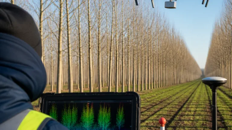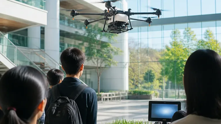
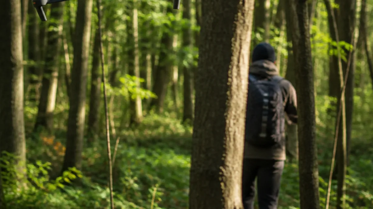
A quadcopter associated with Purdue University’s IDEAS Lab is being presented as an example of autonomous flight in a GPS-denied environment. Video shared by professor Aniket Bera shows the aircraft moving through dense woodland while tracking a person who periodically disappears behind trees.
The demonstration’s reported processing architecture is notable because the aircraft is described as making navigation and tracking decisions onboard. The flight reportedly used no satellite positioning, preloaded map or remote server to direct the drone. Instead, the system is described as combining local sensing, real-time mapping and motion prediction while the aircraft moves among tree trunks and branches.
“A PURDUE DRONE CAN NOW CHASE A PERSON THROUGH DENSE FOREST WITHOUT GPS OR A CLOUD CONNECTION” — Mario Nawfal, in a post sharing the demonstration
Prediction during temporary loss of sight
According to Bera’s post, the system includes an occlusion-prediction step. When the tracked person passes behind a tree, the software estimates the person’s likely path until the target becomes visible again. Obstacle avoidance and course corrections are also described as onboard functions.
The reported approach addresses a central limitation for autonomous aircraft operating under heavy tree cover: the vehicle must continue navigating while its target and parts of the surrounding environment may be temporarily hidden. Cloud-dependent processing would add a communications step to that process, while the Purdue demonstration is presented as keeping the decision cycle on the aircraft.
Technical details remain unsettled
Accounts of the system’s localization method differ. Reports attribute the navigation to a combination of visual-inertial or LiDAR-inertial techniques, along with local mapping and motion prediction. The video overlays reportedly identify the motion planner as “SUPER” and the altitude-estimation system as “FAST-LIO.” Those names are associated with open-source projects from the University of Hong Kong’s MaRS Lab, rather than being documented in the report as Purdue-developed systems.
- Flight setting: dense woodland with tree trunks and branches
- Navigation: no GPS or other satellite positioning described
- Tracking: the drone follows a moving person and predicts a path during occlusion
- Processing: decision-making, obstacle avoidance and course corrections are reported as onboard functions
The footage and Bera’s accompanying post are the basis for the performance descriptions currently attached to this specific flight. No peer-reviewed paper documenting the forest demonstration has been confirmed, so the video should be treated as a reported research demonstration rather than as independent validation of a production-ready capability.
Even with that qualification, the flight illustrates the direction of autonomous-drone research: reducing dependence on satellite navigation and remote computing while combining perception, mapping and target tracking in a small aircraft. The demonstration does not establish a commercial product, operational deployment or certification status for the system.