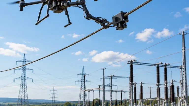

Hawaiian Electric has contracted with UK-based inspection company Cyberhawk to survey electrical infrastructure in wildfire-risk areas across Hawaii Island, Maui County and Oahu. The utility said the drone inspections are intended to identify damaged equipment and other defects more quickly, helping reduce the possibility that an infrastructure failure could contribute to a wildfire.
The work comes as unusual atmospheric conditions increase fire risk across the Hawaiian Islands. Hawaiian Electric issued a Public Safety Power Shutoff notice for the leeward side of Oahu on November 7, after previously placing Hawaii Island and Maui County under a PSPS watch. The utility describes a PSPS as a period of enhanced monitoring in areas with elevated wildfire risk, when shutting off power may be necessary to reduce the chance of a fire starting.
Aircraft and inspection payload
Cyberhawk is deploying Skydio X10 drones under the contract. The aircraft are equipped with a VT300Z sensor package intended for long-range inspections of electrical assets. The combination is being used to capture detailed imagery of transmission infrastructure so inspectors can examine structures and identify potential failures or defects.
| Inspection element | Details reported |
|---|---|
| Utility | Hawaiian Electric |
| Inspection contractor | Cyberhawk |
| Drone | Skydio X10 |
| Sensor package | VT300Z |
| Service areas | Hawaii Island, Maui County and Oahu |
Anna Dillé, Cyberhawk’s vice president of north American operations, said the imagery is being collected across Hawaiian Electric’s electrical assets to identify problems that could create a wildfire hazard.
“We are using drones to capture high-resolution imagery of all of their electrical assets across the islands making sure that there’s not any critical failures or defects that could potentially cause a wildfire,” Anna Dillé, Cyberhawk’s vice president of north American operations, said.
More data for field inspection teams
According to Dillé, the VT300Z package provides 48-megapixel resolution and up to 16 times lossless zoom. Those capabilities are intended to let inspectors examine components closely while the drone remains positioned for an aerial view of the structure. The published figures are Cyberhawk’s description of the sensor package used in the contract.
The inspection program gives Hawaiian Electric an aerial method for reviewing infrastructure across three island areas while wildfire monitoring is heightened. The utility said the surveys will help it find issues faster, with the stated objective of preventing or reducing the risk of fires associated with damaged electrical equipment. The contract also illustrates how utilities are using commercial drone operators and detailed imagery as part of infrastructure inspection and wildfire-prevention work.