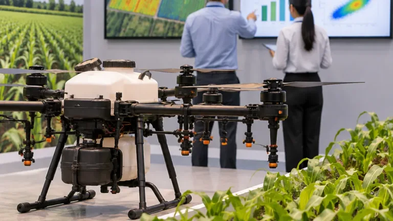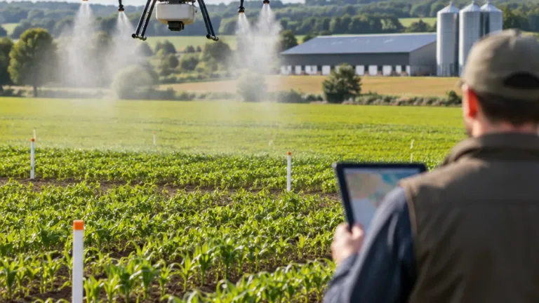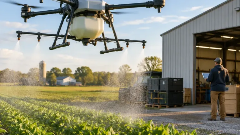
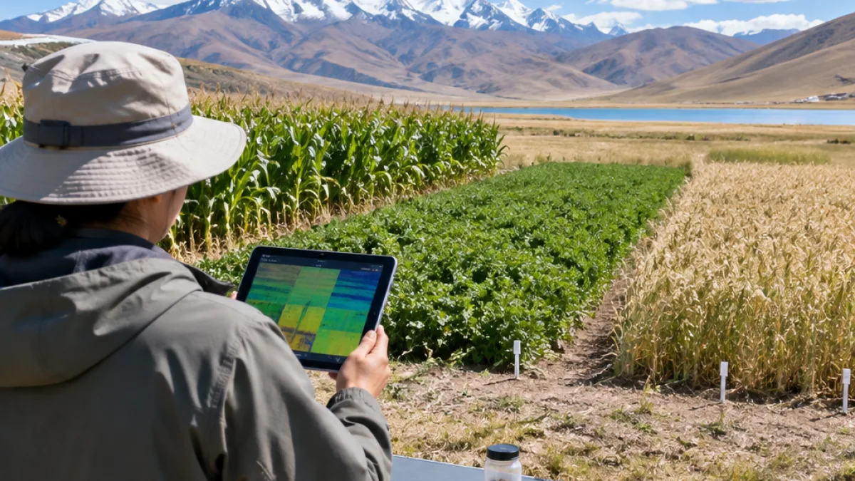
Low-altitude drone imagery can estimate important forage nutrients in alpine cropping systems, but its performance varies substantially by crop and chemical target. That is the central finding of an agricultural remote-sensing investigation conducted across cultivated grasslands on the Tibetan Plateau. Researchers combined aerial surveys with ground sampling to assess aboveground organic carbon, total nitrogen and total phosphorus in maize, alfalfa and oat.
Accuracy was uneven across the three crops
The investigation used multispectral sensors carried by unmanned aircraft and compared information from spectral bands, image texture and combined analytical approaches. Ten machine-learning algorithms were tested, along with an ensemble method that integrated their outputs. The results showed that no single crop-nutrient combination produced a uniformly reliable signal from the air.
| Crop | Results reported in the investigation |
|---|---|
| Maize | High accuracy for organic carbon; substantial constraints for total nitrogen |
| Alfalfa | High accuracy for total nitrogen and total phosphorus; substantial constraints for organic carbon |
| Oat | High accuracy for total nitrogen; substantial constraints for total phosphorus |
The differences point to the importance of canopy structure when interpreting drone data. Plant form affects how leaves and stems reflect and scatter light, which in turn influences how well an algorithm can connect an aerial measurement with a chemical property. The results therefore support a crop-specific approach rather than treating one remote-sensing model as interchangeable across an entire forage operation.
Why the measurements matter for forage production
Farm managers in high-elevation agro-pastoral regions need timely information about crop condition to make decisions about harvest timing, fertilizer use and livestock feed. The study places that need in the context of a shift from traditional pasture management toward cultivated, higher-yield forage systems in fragile alpine environments. Those systems require more precise information about available nutrients as producers seek to support supplies of meat, milk and fiber.
Conventional assessment of aboveground carbon, nitrogen and phosphorus generally requires field material to be harvested and then analyzed in a laboratory. That process can be expensive and slow, while sampling only selected points in a field. Drone surveys offer a way to collect spatially continuous observations over a wider area and to repeat measurements without removing as much plant material. The investigation nevertheless shows that aerial estimates must be checked against field observations and interpreted in light of the crop being measured.
A tool for targeted nutrient management
The findings suggest that UAV-based multispectral mapping could help identify variation within forage fields, but they do not establish a single performance level for all nutrients or species. The strongest results were associated with maize organic carbon, alfalfa nitrogen and phosphorus, and oat nitrogen. Other combinations—particularly alfalfa organic carbon, maize nitrogen and oat phosphorus—showed significant statistical limitations.
- Carbon: estimates were strongest for maize and weaker for alfalfa.
- Nitrogen: the investigation reported strong results for alfalfa and oat, but constraints for maize.
- Phosphorus: alfalfa produced high estimation accuracy, while oat results were substantially limited.
For precision agriculture, the practical implication is a need to match the sensing and modeling approach to the crop and the measurement objective. Drone imagery can reduce the delay associated with laboratory testing and provide a broader view of forage conditions, but the reported variation in accuracy remains a key consideration before aerial estimates are used for fertilizer decisions, ration planning or harvest scheduling.